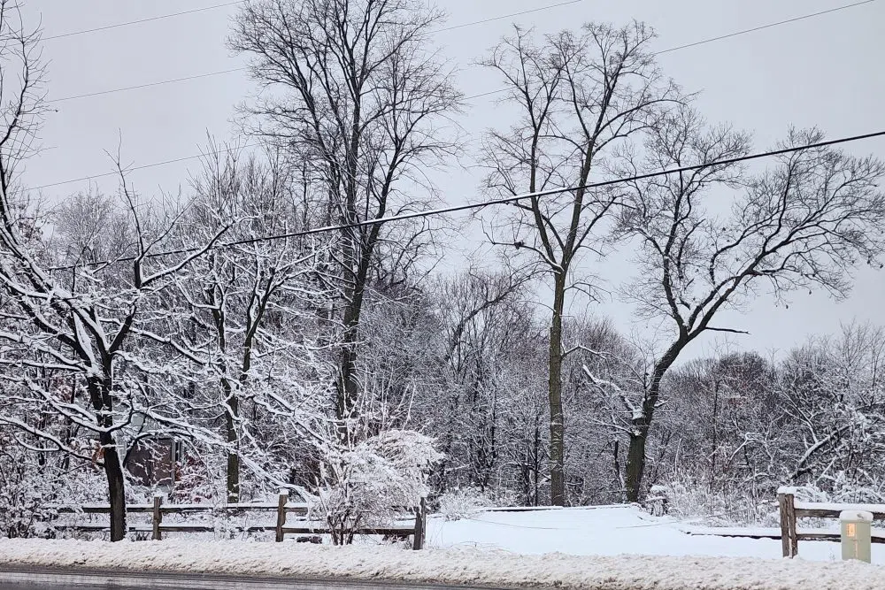
LINCOLN, Ill. – The Peoria area has so far seen 3-5” of snow in the first winter storm of the season.
That’s what the National Weather Service office in Lincoln is estimating for the storm that began Monday night and dumped a mixture of rain, sleet, and snow through Tuesday afternoon.
After a small break in precipitation, meteorologist Nicole Albano says snowfall will pick back up by 6:00 P.M. Tuesday and bring another 2” in the Peoria area. She says precipitation will end at around midnight, but the effects will still be felt through Wednesday morning.
“Impacts are going to continue into the overnight hours because our wind gusts are going to really increase. We’re going to have northwest winds gusting upwards of about 40-45 MPH overnight,” Albano said.
Albano says that could cause troubles for travel through Wednesday morning.
“Any of that newer, looser snow could get blown around just a little bit, if not can drift onto the roadways, which will just create some hazardous weather conditions that will continue through tomorrow morning,” Albano said.
Albano says the Tuesday night snowfall will continue to be the heavier, wetter snow that has been seen. She says while it’ll be heavier to lift and blow, it could build up on trees and power lines and lead to isolated power outages.
Counties west of the Illinois River remain under a winter storm warning, while counties east of the Illinois River are under a winter weather advisory. Both are set to expire at 6:00 A.M. Wednesday, with Albano anticipating no changes to either alert before they expire.


Comments