UPDATED 4:51 P.M.
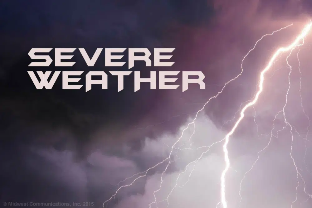
EAST PEORIA, Ill. – There may still be severe weather on the way, but it may not be as severe as first warned.
25 News First Alert Chief Meteorologist Chuck Collins says there could be at least one round of strong to severe thunderstorms later tonight.
“The first round of storms will be after midnight, and although the severe weather threat is low with this round, the storms could contain large hail,” said Collins. “We’ll get a break in the storms until mid-day (Thursday), but severe storms could re-fire along a cold front (Thursday) afternoon and evening. All hazards are in play, including the possibility of isolated tornadoes, large hail, and damaging winds.”
Collins says 25 News and other computer models now aren’t really allowing for a second round of storms in this immediate area, potentially moving south, but that could change.
Stay with 1470 & 100.3 WMBD, and WMBDRadio.com, for the latest details.
———————————
PEORIA, Ill. – It sounds like loud thunderstorms are headed to Central Illinois Wednesday night, and severe weather is possible heading into Thursday.
25 News First Alert Chief Meteorologist Chuck Collins says the first round of storms will be after midnight Wednesday, and although the severe weather threat is low with this round, the storms could contain large hail.
“We’ll get a break in the storms mid-day Thursday, but severe storms will re-fire along a cold front Thursday afternoon and evening. All hazards are in play, including the possibility of a couple tornadoes, large hail and damaging winds,” Collins says.


Comments