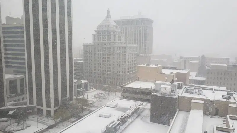
PEORIA, Ill. – A New Year’s Day winter storm resulted in as much as 5 inches of snow in some areas of Central Illinois and left behind snow packed and icy roads and the promise of colder weather ahead.
A Winter Storm Warning and Winter Weather Advisory that had been issued for Peoria and surrounding communities and counties were canceled at 2:55 a.m. Sunday.
Reported snowfall totals ranged from two inches in Manito to five inches in Farmington and Abingdon.
Most of the main snowfall had ended in Peoria by early evening Saturday but lingering precipitation in the form of light snow and occasional freezing drizzle continued. Any lingering precipitation was expected to move out of the forecast area by sunrise.
Colder air is moving in behind the storm. Temperatures were to fall into single digits Saturday night/Sunday morning northwest of the Illinois River. Wind speeds of 15-20 mph will result in wind chills below zero across western Illinois, even colder with wind gusts of up to 30 mph.
The cold weather will continue into Monday under clear skies and light wind, especially in areas where snow is on the ground.
Sub-zero temperatures appear likely west of I-55 at dawn Monday. However, the light winds will keep wind chills above advisory criteria.
Central Illinois will take a ride on the weather roller coaster the rest of the work week with a brief warm up with highs near 30 Monday and 40 Tuesday under sunny skies. But, temperatures will drop sharply behind an approaching fold front.
Highs will only be near 20 west of I-55 and only in the teens Thursday and Friday. Nighttime lows will be in the single digits or even below zero.
Additional precipitation chances exist next weekend late Saturday night into early Sunday.
Reported snowfall totals (in inches) to the National Weather Service as of at least 7 p.m. Saturday:
Manito 2
Roanoke 3
Marquette Heights 3
Germantown Hills 3.5
Hanna City 4
Metamora 4
Altona 4.5
Chillicothe 4.5
3 mi. NW of Peoria 4.5
Castleton 4.5
Princeville 4.5
Canton 5
Abingdon 5
Farmington 5


Comments